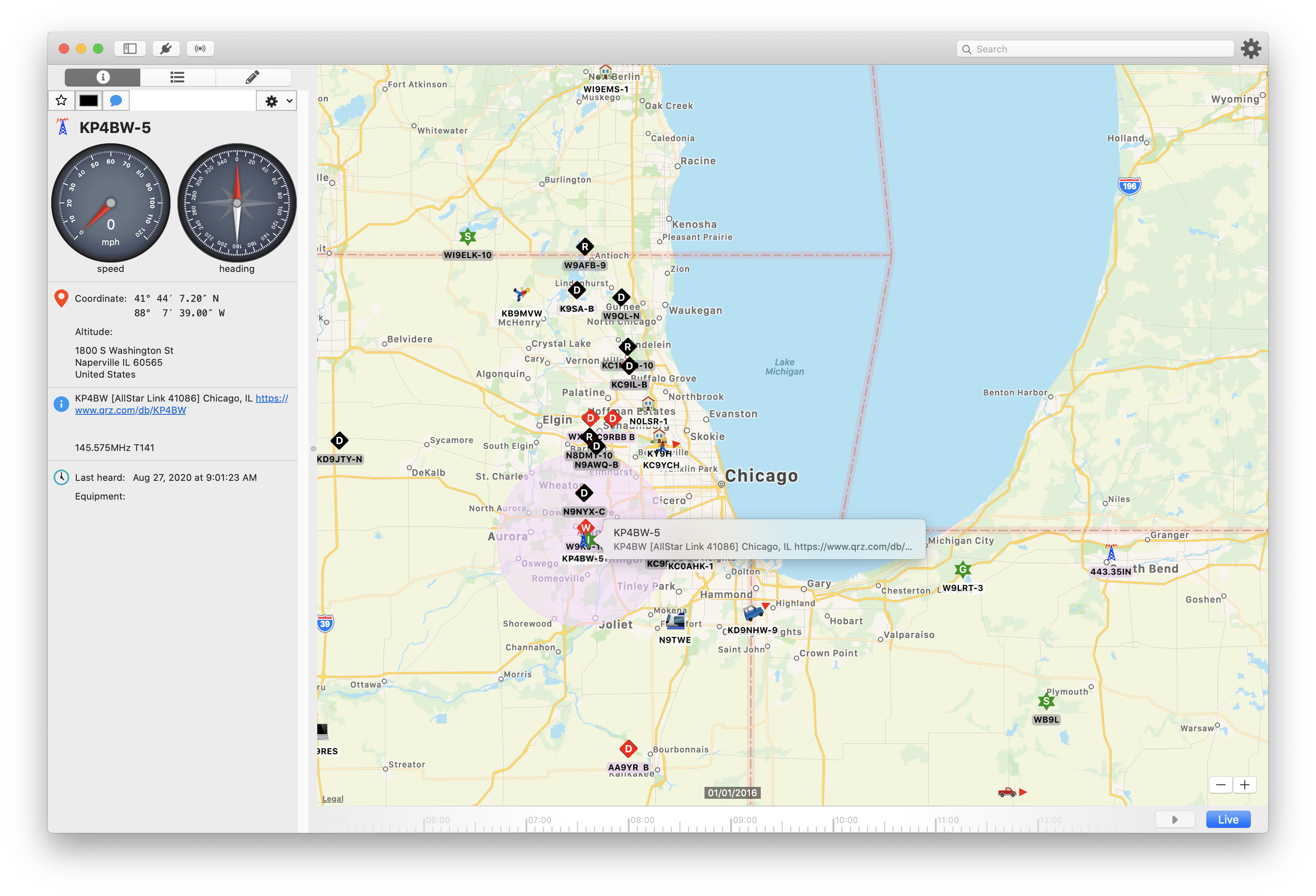
Main Map
Navigation
- To pan the map, click and drag the mouse or use two fingers on a trackpad
- To zoom the map, you can:
- Use your mouse’s scroll wheel
- Click the - / + buttons in the lower righthand corner
- Pinch zoom in or out on the trackpad
Search bar
The search bar will accept several different types of input:
-
Something that looks like a callsign
If you type a callsign into the search box, QTH will attempt to locate a station with that callsign on the map. If one is found, it will select it and center the map on that station.
-
Something that looks like a latitude, longitude pair
QTH accepts several diffent forms of latitude and longtude formats. Please be sure to separate the two with a comma, though. If QTH detects a lat/lon pair, it will put a pin in the map at that location and center the map.
Selecting Stations
Clicking a station on the map will display a popup tooltip and display the station’s details in the side panel.
If station symbols overlap, clicking multiple times in the same location will cycle through the station symbols under the mouse.
To deselect the station, click on the map where there is no station.
Station Display
Most stations are marked by a symbol on the map. Some stations contain data that can be displayed in a special way on the map:
Symbol Orientation
For stations that report a heading, the symbol will be oriented such that it points in the direction of the heading
Range Circles
Some stations report their range in a couple different ways. For these stations, when they are selected on the map, a circle or cardiod shape will be overlayed on the map to show the approximate range.
If you would like to see the range circles for all visible stations on the map, the can be toggled on and off with View → Range Circles.
Dead Reckoning
For stations that have reported a speed and course, QTH will draw a line ahead of the station to estimate where the station might be, given the time that has elapsed since it last communicated its position.
Weather Station Temperature and Wind Barbs
Wherever possible, weather stations are displayed with the reported temperature in a colored circle with an associated wind barb.
The wind barb will point in the direction that the wind is coming from.
The wind speed will be represented by one or more ‘flags’ attached to the barb.
- No flags indicates that the wind is calm
- A single short line (half line) or “feather” represents 5 knots (5.75 mph) of wind speed.
- A single long line (full line) or “feather” represents 10 knots (11.50 mph).
- A full triangle, “pennant,” or “flag” on the barb represents 50 knots (57.50 mph) of wind speed.